The film is unavailable right now. You can read the story below.
Read the film transcript
In the mid-1700s, French explorers imagined linking the Tennessee and Tombigbee Rivers—a way to move goods and supplies inland from Gulf settlements and support French settlement in the region.
In 1810, residents of Knox County, Tennessee, petitioned Congress for a river link to Gulf trade. Engineers studied it in 1874, in 1913 and after. Cost kept it on paper until TVA's Pickwick Dam, finished in 1938, changed the math.
Congress authorized the waterway in 1946. But strong opposition from key members of Congress, as well as the railroad industry, held up progress. Engineering and design funding finally arrived in 1968.
The challenge was the land itself. In northeast Mississippi, the Tennessee River turns north, toward the Ohio. The Tombigbee flows south, toward Mobile. Between them rises a ridge of hills—the divide between two watersheds. And Pickwick Lake sits 341 feet higher than the Tombigbee at Demopolis.
The plan was a 234-mile staircase of water, built in three sections. At the top, the Divide Section: a channel cut through the ridge, held at the same level as Pickwick Lake, so the Tennessee River could flow right in. In the middle, the Canal Section: a new canal dug beside the Tombigbee, with a chain of lakes. At the bottom, the River Section: the Tombigbee itself, straightened and deepened. Ten locks would carry boats between the levels.
In 1971, President Richard Nixon joined a ceremonial groundbreaking in Mobile. A lawsuit delayed the work until December 1972, when construction began at the south end, at Gainesville Lock and Dam, now Howell Heflin.
In 1977, President Jimmy Carter's review of federal water projects put its funding in doubt. More than 6,500 supporters packed a hearing in Columbus. The project survived.
At completion, the Tenn-Tom was the largest civil works project the Corps of Engineers had undertaken: nearly 310 million cubic yards of earth, compared with 210 million for the Panama Canal. Nearly half came from one place. For 27 miles, the Divide Cut slices through the ridge. In places, crews dug 175 feet down, and at the top the cut spreads nearly half a mile wide. Seven contractors removed 150 million cubic yards and shaped the soil into nearby valleys.
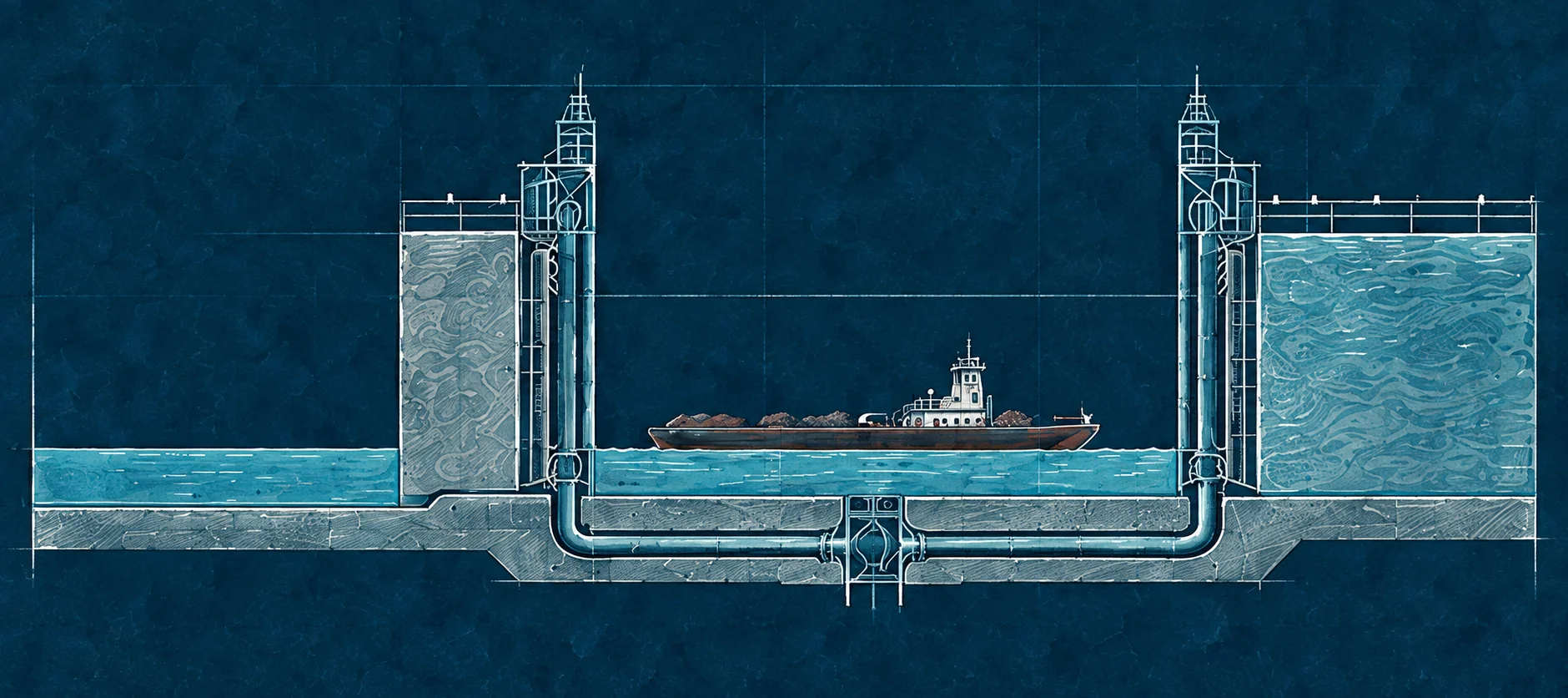
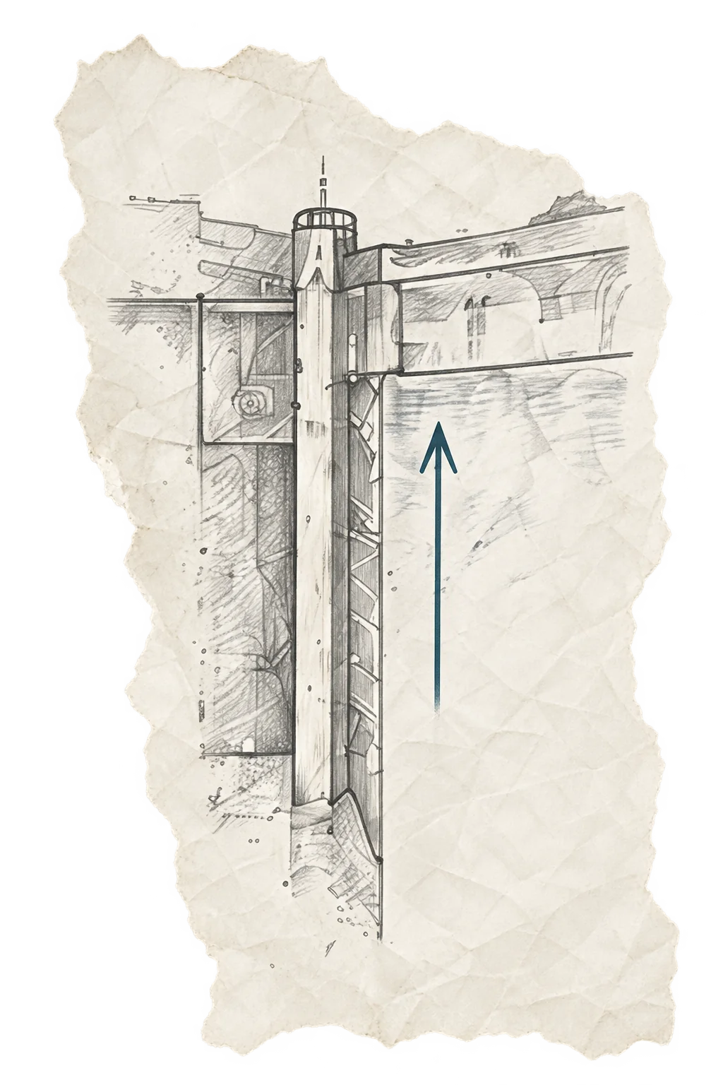
Where the Divide Section ends, Jamie Whitten Lock lowers boats 84 feet—the highest lift on the Tenn-Tom—and takes about 46 million gallons. Below it, five more locks step down through the new canal, and four more along the river. A typical lock fills with about 14 million gallons in about twenty minutes, by gravity alone. Crews also rebuilt 22 railroad and highway bridges and raised a levee nearly 50 miles long to protect wildlife habitat along the old river.
On June 8, 1983, crews marked the last yard of the Divide Cut. One barrier remained. Near Amory, a wall of earth—an earthen plug—still held the new canal apart from the Tombigbee. On December 12, 1984, crews removed it. Tennessee River water met Tombigbee water, and for the first time, one continuous water route ran from the Tennessee River to the Gulf of Mexico—twelve years after construction began.
On January 14, 1985, the Tenn-Tom opened to commerce. The towboat Eddie Waxler made the first voyage, pushing barges carrying nearly 2.7 million gallons of petroleum products.
On June 1, 1985, an estimated 100,000 people gathered in Columbus and Mobile to dedicate the waterway, despite intense heat. Celebrations ran all week, from Paducah, Kentucky, to Guntersville, Alabama. One newspaper compared the excitement to the end of World War Two.
Today, the Tennessee-Tombigbee Waterway carries millions of tons of goods each year and welcomes people who come to fish, boat, camp and explore. A connection imagined nearly three centuries ago is still at work.

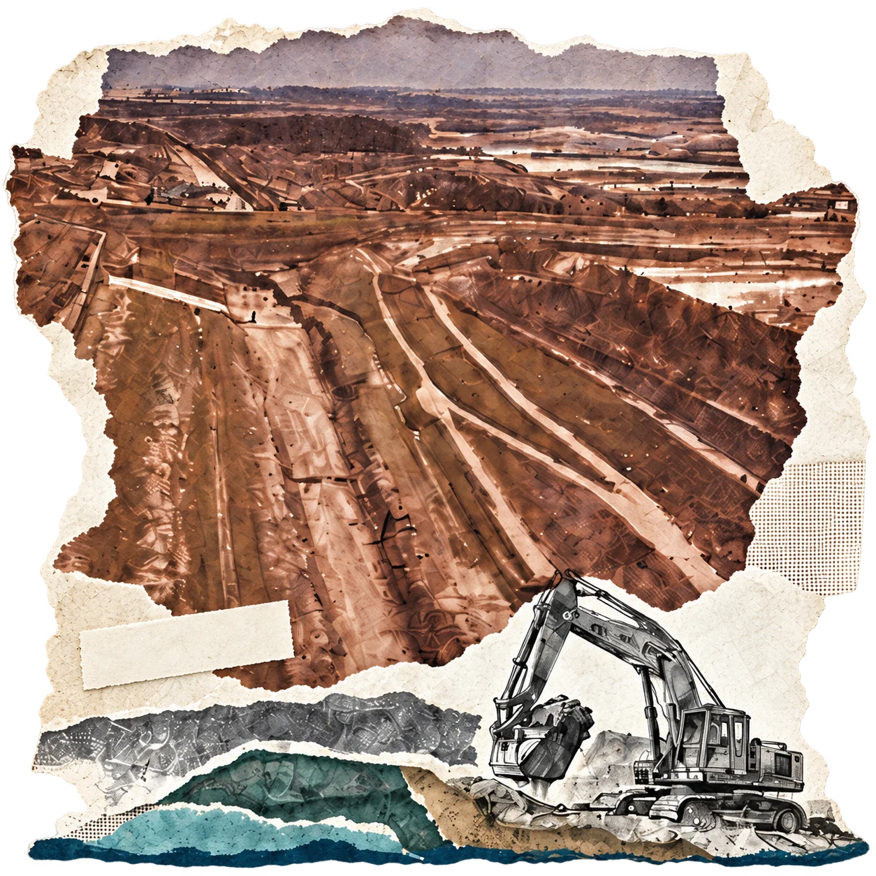 The Divide CutIllustration