
Resources
Find shipping, site selection, and recreation information for the Tennessee-Tombigbee Waterway and Marine Highway M-65.
Explore the corridor.
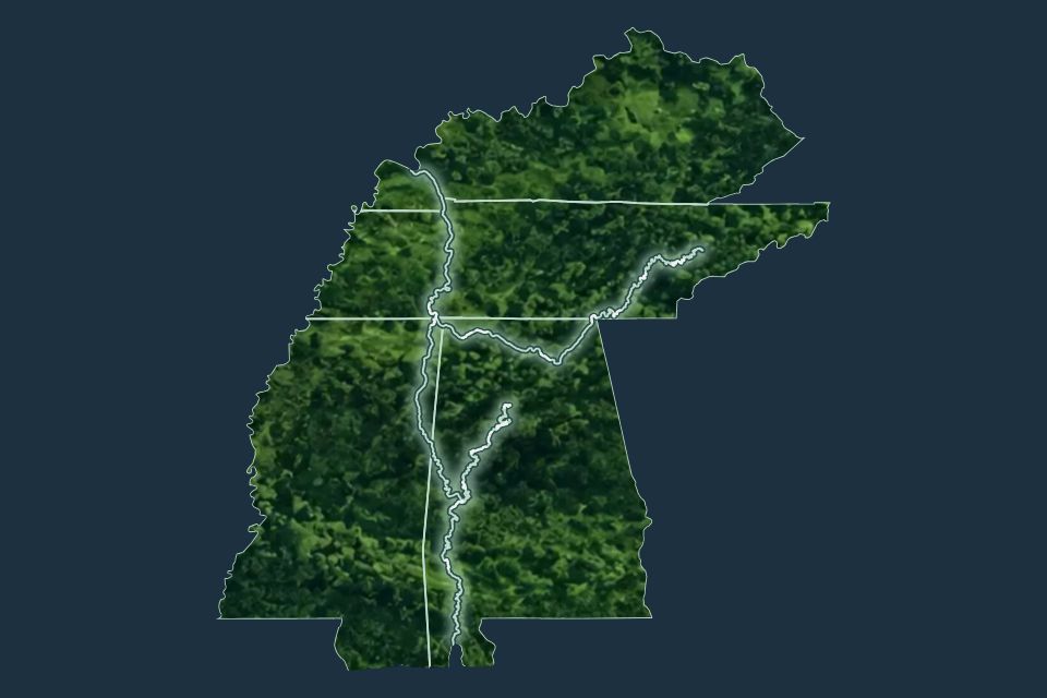
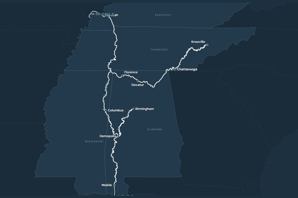

Corridor maps.
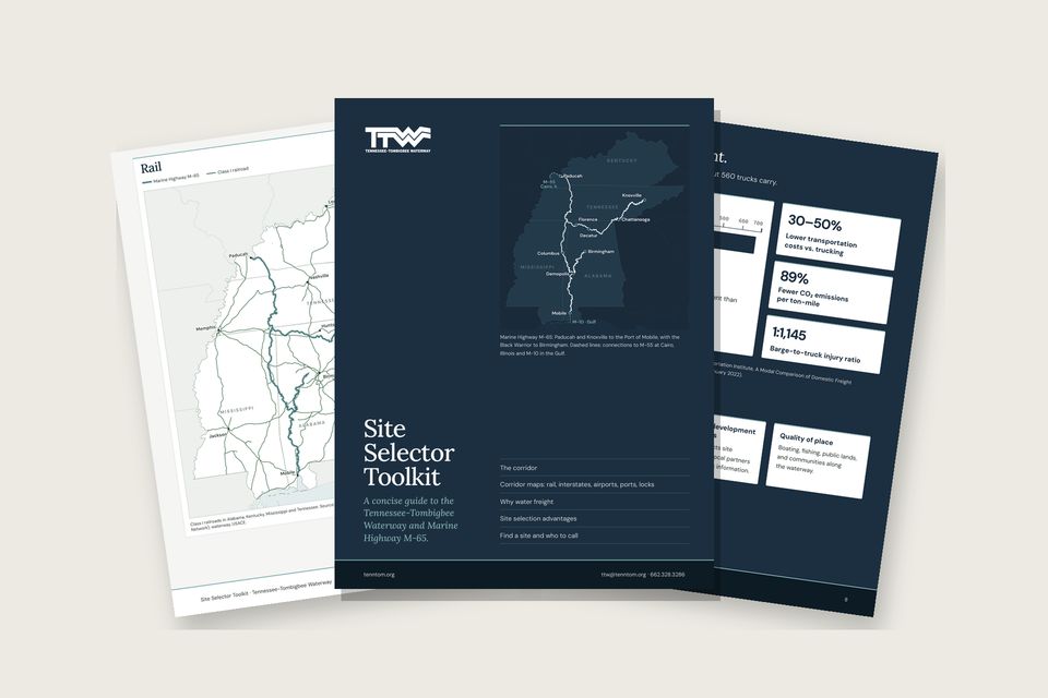
The maps from the Site Selector Toolkit, one page each. Open any map to view, print, or save it.
Interstates
Interstate highways and route numbers.
View the map (PDF): Interstates (opens in a new window)Major airports
Fourteen commercial-service airports serving the corridor.
View the map (PDF): Major airports (opens in a new window)Ports and terminals
38 ports and terminals, numbered with a key.
View the map (PDF): Ports and terminals (opens in a new window)The full Toolkit
All five maps with the corridor overview, water-freight advantages, and contacts.
Download the Toolkit (PDF)
Navigation Notices & Lock Information.
Receive navigation notices and lock information by email.