
Move More, Spend Less.
Reliable slack-water navigation with direct Gulf access and measurable freight efficiency. Manufacturers, ports, and logistics partners use the Tennessee-Tombigbee Waterway and Marine Highway M-65 to lower costs, improve reliability, and reach global markets through the Gulf.
A freight corridor designed for performance.
Anchored by the Tennessee-Tombigbee Waterway, M-65 delivers a resilient, fully integrated corridor. Four reasons shippers make the switch.
Cost Efficiency
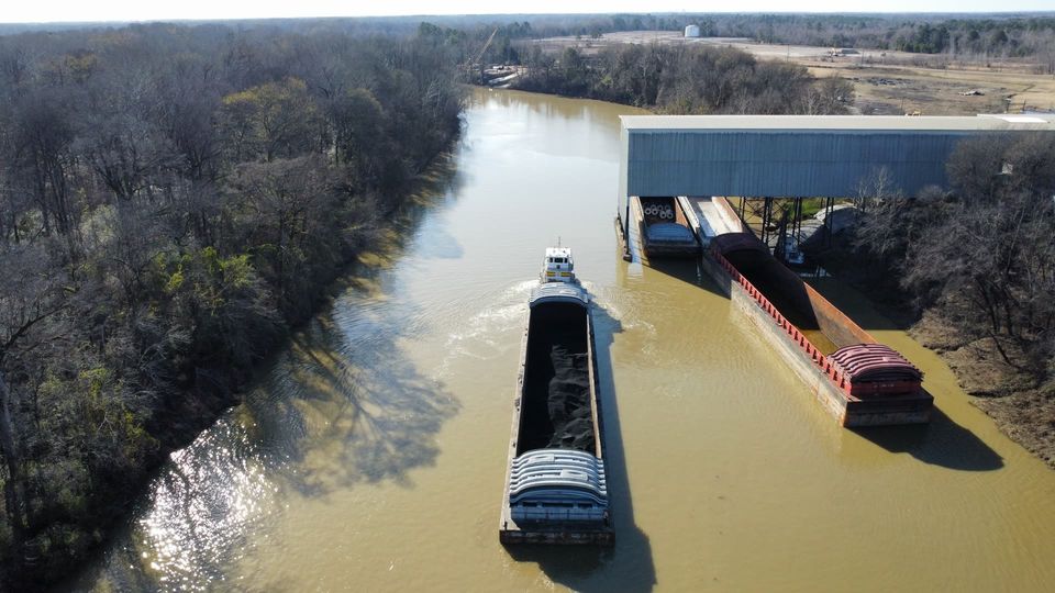
The economics of water freight are simply different. One 8-barge tow carries what about 560 trucks carry.
30–50%
Transportation savings
Versus trucking: an estimated $100 million in annual shipper savings on Tenn-Tom tonnage.
$13.90–17.90
Per-ton savings
Barge savings per ton over rail and truck, compounding across every shipment.
~800 mi
Shorter Gulf routing
Closer to the Gulf for interior U.S. shippers: less transit time, less fuel, less congestion exposure.
More than four times more efficient than highway transport.
Predictable Performance
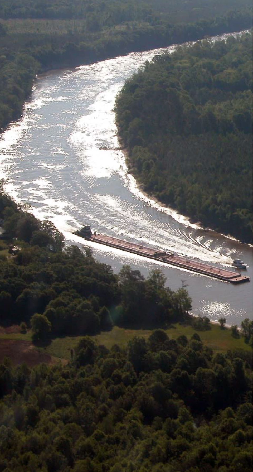
A controlled slack-water system means the schedule you plan is the schedule you run.
Controlled slack-water system
A lock-and-dam system maintains consistent water levels year-round: reliable transit in every season.
Efficient lock operations
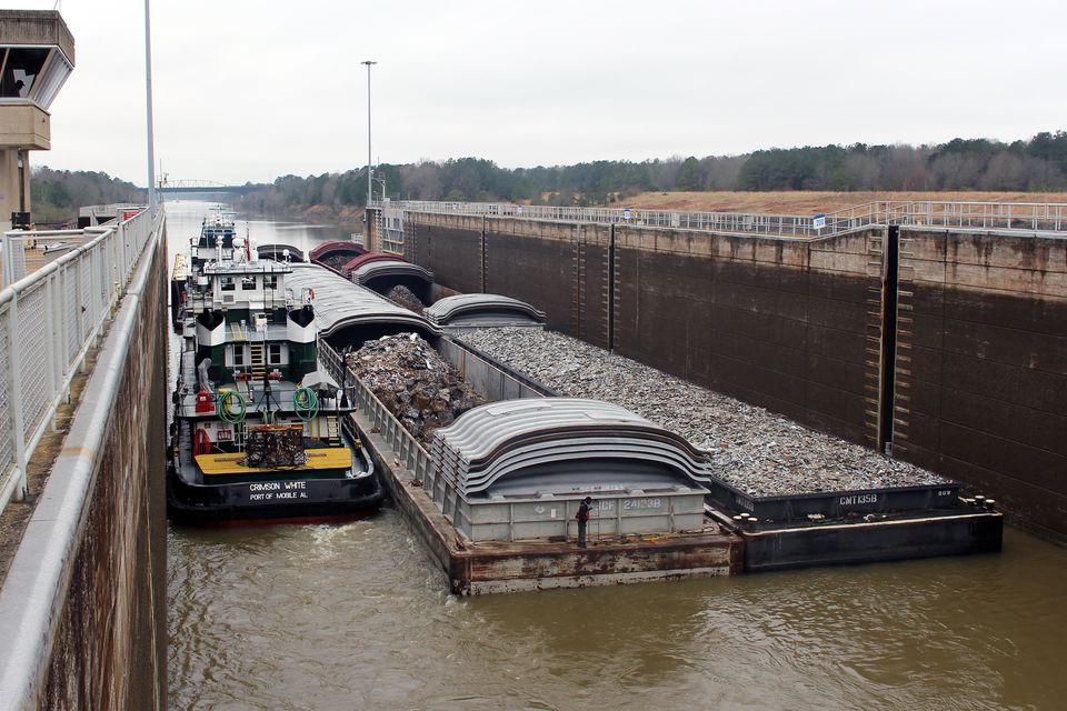
Twenty-five locks carry traffic from Paducah and Knoxville to the Port of Mobile. On the Tenn-Tom, each of the ten 110 × 600-foot chambers takes an 8-barge tow in one locking, typically in about 20 minutes.
Direct Gulf access
Direct access from inland origins to the Port of Mobile.
9 ft
Drought-resilient by design
The controlled lock-and-dam system holds a guaranteed 9-foot channel and steady pool levels every day of the year: transit certainty shippers can schedule around.
Environmental & Safety Leadership
The lowest-impact way to move bulk freight: for the climate, for communities, and for the people doing the work.
89%
Fewer CO₂ emissions
15.1 tons of CO₂ per million ton-miles vs. 140.7 for trucks.
1:560
Congestion relief
One 8-barge tow replaces up to 560 trucks or 128 rail cars.
2.3 gal
Lowest spill rate
Per million ton-miles by barge, for spills over 1,000 gallons, vs. 5.5 for trucks and 6.6 for rail.
1:1,145
Barge-to-truck injury ratio
For every barge injury, there are 96 rail and 1,145 truck injuries.
Integrated Multimodal Access
Water is the spine; rail, interstate, and air complete the network.
Class I rail
Direct connections to national rail networks serving domestic markets.
Interstate highways
Immediate access to major interstate corridors across the Southeast and Midwest.
Deepwater Gulf access
Seamless connection to Gulf shipping lanes supporting global trade.
Regional & international air
Airports across the corridor support corporate travel, site selection, and time-sensitive logistics.
Sources: National Waterways Foundation / Texas A&M Transportation Institute, A Modal Comparison of Domestic Freight Transportation Effects on the General Public: 2001–2019 (January 2022) · Mississippi State University NSPARC, 2025 Tenn-Tom Economic & Social Impact Study.
Built for the industries that build things.
From steel and chemicals to agriculture and advanced energy, M-65 supports industries that require reliability, capacity, and multimodal access to global markets.

Steel & Metals
Raw materials and finished steel move efficiently by barge, connecting mills to domestic and export markets.

Chemicals & Petrochemicals
Specialized terminals move industrial chemicals safely; barge has the lowest spill rate of any surface mode.

Forest Products
Timber, wood chips, pulp, and lumber move from regional forests to processors and global buyers.

Aggregates & Mining
Sand, gravel, and construction materials transported at scale to major infrastructure projects.

Agriculture
Grain, soybeans, and row crops connect heartland producers to Gulf export facilities.

Energy
Coal, petroleum products, renewable components, and emerging energy infrastructure use the corridor's bulk capacity.

Advanced Manufacturing
Multimodal access and predictable logistics.

Water-Intensive Industries
Hyperscale data centers and other water-intensive operations benefit from authorized industrial water capacity and reliable, controlled water levels.
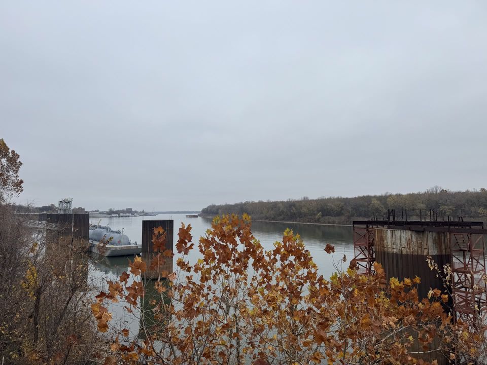
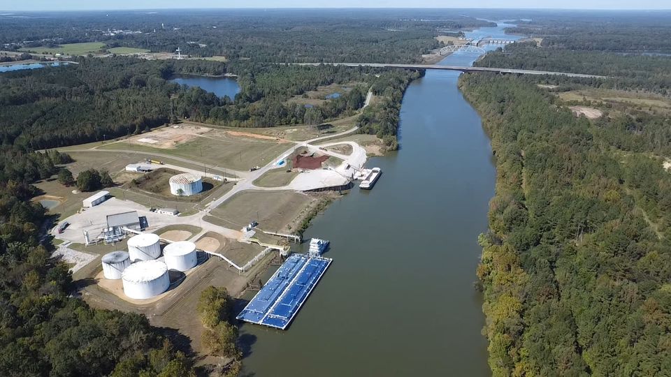
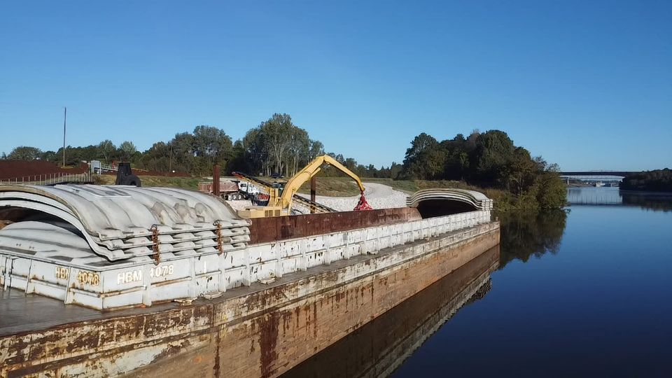
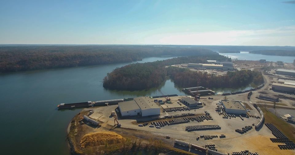
Ports and terminals along the corridor.
Commercial ports and terminals across the four-state corridor provide multimodal access, specialized commodity handling, and direct connectivity to rail, interstate, and Gulf shipping lanes.
Featured ports
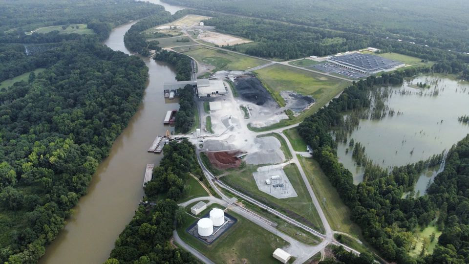
A few of the commercial ports and terminals along the corridor. Find every port and terminal on the interactive map.
Mississippi
Yellow Creek Port
Northern gateway to the Tenn-Tom, adjacent to the Cinco Mega Site with rail connectivity.
Mississippi
Lowndes County Industrial Port Authority
Full-service port serving Columbus and the Golden Triangle region.
Alabama
Decatur Morgan County Port Authority
Strategic location on the Tennessee River with multimodal connections.
Kentucky
Paducah-McCracken County Riverport Authority
Northern anchor at the Ohio-Tennessee confluence.
Alabama
Port of Mobile
Deep-water Gulf access for international shipping connections.
Plan with confidence.
Operational transparency supports safe, efficient navigation. Real-time updates, lock schedules, and official charts.
Notice to Mariners
Official navigation updates, operational advisories, and system notices, straight to your inbox.
Subscribe to Navigation NoticesUSACE Navigation Charts
Official navigation charts and system documentation from the U.S. Army Corps of Engineers.
Access Official ChartsBarge Companies Serving M-65
Towing companies that move barges on the Tennessee-Tombigbee Waterway and Marine Highway M-65, in one list.
See the Barge Companies List (PDF, opens in a new window)Ready to move more on M-65?
Talk to TTWDA about routes, ports, barge companies, and the numbers for your freight.